Price: ₹1,299 - ₹999.00
(as of Sep 13,2023 15:02:01 UTC – Details)

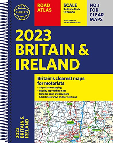
PHILIP’S – No. 1 in the UK for clear maps
‘Good balance between detail and clarity with excellent town maps’ What Car?
* Mapping at a scale of 3 miles to 1 inch = 1:200,000
* Philip’s: Market leader and Britain’s clearest maps for motorists
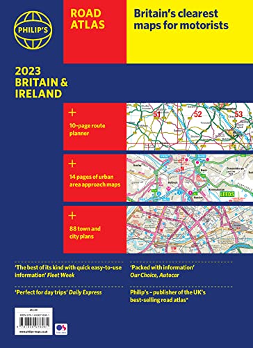
* Completely updated and revised for 2023
* New map showing Smart Motorways
– Practical spiral bound, lie-flat format
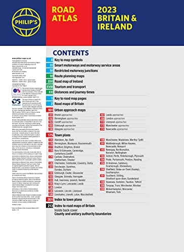
– 160 pages of fully updated super-clear road maps
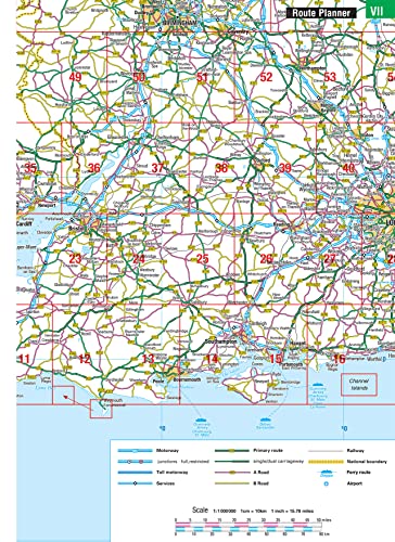
– 10 pages of detailed route-planning maps – plan your route in advance
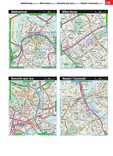
– 88 indexed town-centre maps
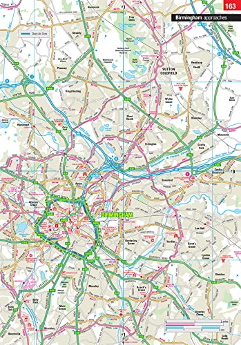
– 14 pages of city approach maps with named arterial roads
– 2 page road map of Ireland
– Map of scenic Britain and a map highlighting railways, airports and ferry ports
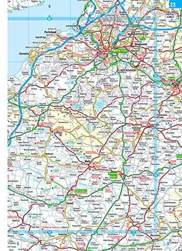
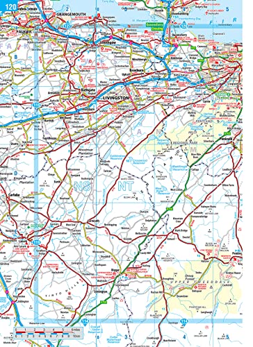
Philip’s 2023 Road Atlas Britain and Ireland is the top-of-the-range spiral road atlas featuring the latest maps from the Philip’s digital database. Voted Britain’s clearest and most detailed in an independent consumer survey, the mapping is super-clear.
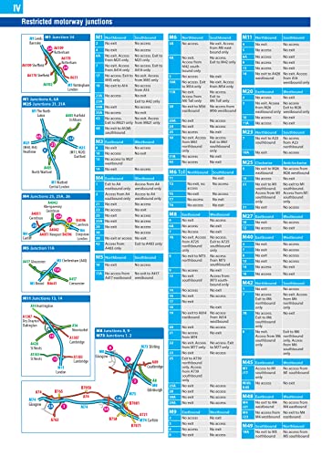
Philip’s 2023 Road Atlas Britain and Ireland contains 160 pages of road maps covering Britain at 3 miles to 1 inch, with the Western Isles, Orkney and Shetland at smaller scales. The maps clearly mark service areas, roundabouts and multi-level junctions, and in rural areas distinguish between roads over and under 4 metres wide.
The atlas also includes a 2-page road map of Ireland, 10 pages of route-planning maps, a distance table, 10 large-scale city approach maps with named arterial roads, and 88 extra-detailed and fully indexed town and city plans.
Publisher : Philip’s (2 June 2022)
Language : English
Spiral-bound : 256 pages
ISBN-10 : 184907609X
ISBN-13 : 978-1849076098
Item Weight : 680 g
Dimensions : 22 x 1.2 x 29.4 cm